How to use the Shelter and Evacuation Center Locator Tool.
The Emergency Shelter and Evacuation Center Locator Tool application provides residents an easy way to find shelters near them. Enter your address or click on the Current Location button to find shelters near you.
Click here to go to the Shelter and Evacuation Center Locator Tool.

Search - Locate
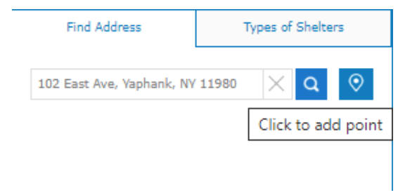
If you click the Location button, the arrow icon, the application will use the location of your computer's IP address or your cell phone/tablet location to locate shelters near you.
If you click the Search button, the magnifying glass icon you can enter an address.
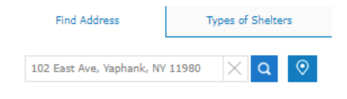
Find Addresses
The system will display the identified addresses.
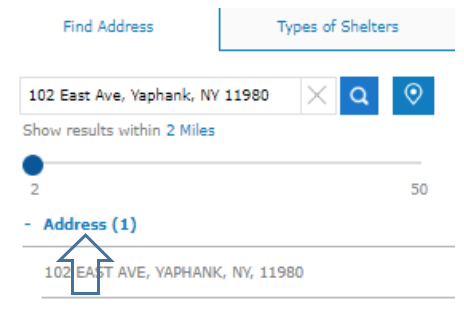
Select the “Address (1)"
Then position your cursor over the Address below, the application will locate to that address and draw a radius of 2 miles and display the nearest facility and at the bottom presents search results of shelters near your address and allows you to review relevant information about each shelter.
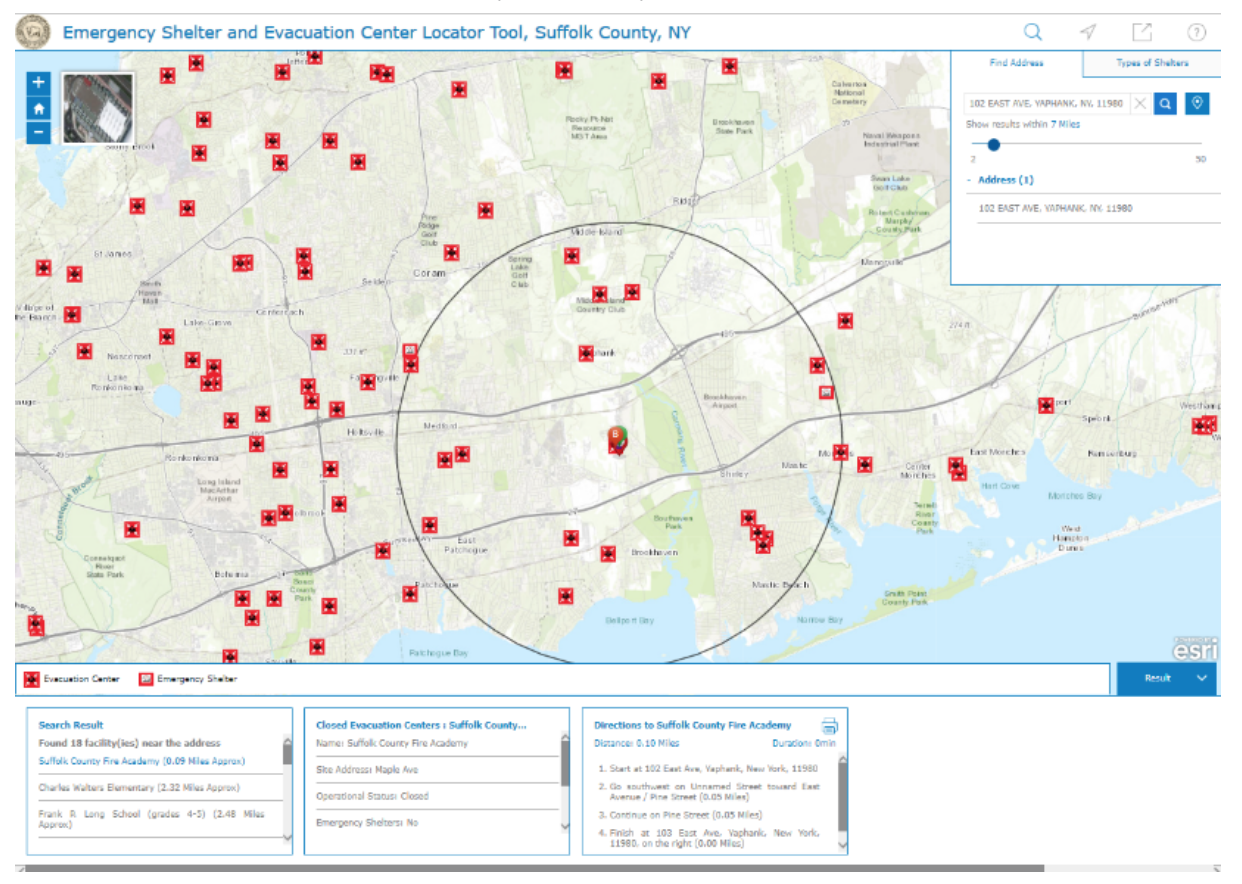
Note: If there are no facilities shown within the default 2 miles – you click and hold the blue dot and drag right to a radius that shows facilities.
Emergency Shelters and Evacuation Center
The next image displays a radius of 7 miles – the search results located at the bottom portion of the image indicate there are 18 facilities identified. The first one listed is nearest to the entered address. The other two boxes display the facility information and directions.
No address needed - Select a point
Hover over the map, left click, and hold to move the map to the desired location (zoom to get a closer view). Then click the Point Icon and move the cursor to the location on the map, click the mouse.
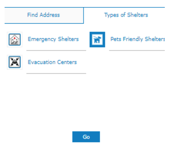
Types of Shelters
You can search for a facility with a specific amenity you require. Click on the search icon, the magnifying glass image, and then click Types of Shelters tab and select the Amenity you require then Go. The application will present a list of facilities that offer the amenity you require and allow you to review relevant information about each in search results at the bottom of the page.
When you find a facility, you would like to visit, at the bottom of the page there are directions from your address.

Share Your Map
You can click on the Share Map button, the image of square with an arrow in it, to share your map several different ways. You can compose an email, post to your Facebook wall or post a Tweet. When you use the Facebook or Twitter links, you will be asked to sign in to your respective account.