This interactive tool is provided for your information and use to assist with personal preparedness when emergency situations, storm flooding conditions or potential evacuations may occur.
The map identifies:
- address locations
- the specific types of shelters available within Suffolk County (i.e. Emergency Shelter (mass care facility), Pet Friendly, and Evacuation Center);
- the location, capabilities and pertinent information about each facility;
- which shelters/evacuation center are currently open in actual emergency situations;
- a mapping feature for driving directions to shelters and evacuation centers
Evacuation Centers/Emergency Shelters provide a safe location for those who are directed to, or choose to, evacuate their homes due to some severe hazard. These facilities provide life-sustaining services during and following a disaster.
Emergency Shelters are for people who have evacuated zones due to a significant weather event (hurricane, coastal storm) with the potential of damaging structures from storm surge.
Evacuation Centers typically are only meant to house people for 12-72 hours or until the hazard (i.e.; wildfire, hazmat release, etc.) no longer is present and it is safe to return home.
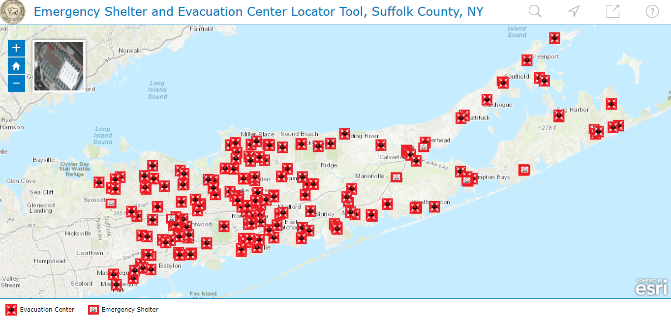
This tool identifies the location of all potential facilities within the County. During non-emergency times, all shelters and evacuation centers will be displayed in red closed.
The tool also allows viewers to enter a specific address within the County and visually determine the nearest facility along with directions. Also you can click on each icon and acquire information related to that selection. During a time of actual emergencies, where sheltering of residents may be needed, actual conditions will dictate which shelters open. In emergency situations, only those shelters that are open will be shown on the interactive map. Please note that the shelter closest to your residence may not be open. The mapping tool can also be used to provide viewers with directions to shelter locations.
Residents are encouraged to familiarize themselves with this emergency preparedness tool and to use it for their own planning, safety and protection.
If you believe that you may need assistance during an evacuation please register with our Emergency Preparedness Registry. Click here to learn more about the Suffolk County Emergency Preparedness Registry.
More Ways To Be Informed: